A detailed look at air quality in Dublin has concluded it is good but varies in different areas of the capital.
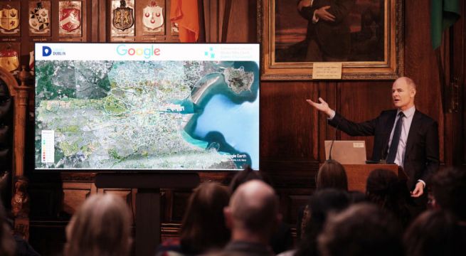
Google’s Project Air View initiative measured the air quality on Dublin’s streets over a period of 16 months and gathered more than 50 million pieces of data.
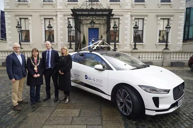
The project was delivered in partnership with Dublin City Council’s Smart Dublin programme, with data captured by Google’s first electric Street View car equipped with Aclima’s mobile air sensing platform.

The mapped, street-by-street air quality data is a first for an Irish city, and provides unique insights that will enable the council, businesses and citizens to work collaboratively to improve air quality.
The data will also be used by the city council to help inform current and future environmental and climate policies, and planning efforts.
The project determined levels of six pollutants such as Particulate Matter (PM 2.5), Nitric Oxide (NO), Nitrogen Dioxide (NO2), Carbon Monoxide (CO), Carbon Dioxide (CO2) and Ozone (O3) in the air.
When benchmarked against the provisions of the EU Air Quality Standards 2011, overall, the capital’s air quality was found to be good.

However, the streets along the quays on either side of the River Liffey in the city centre show relatively elevated NO2 levels compared to other streets which could be higher, on account of the congestion levels on the quays.
Lord of Mayor of Dublin, Caroline Conroy, said the project captured over 50 million air quality measurements at five million locations across the city with the car covering over 30,000kms distance.
She said they will explore the findings and use them to help improve the lives and health of Dubliners.


