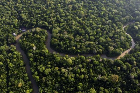
Deforestation in Brazil’s Amazon rainforest slowed by nearly half compared to the year before, according to government satellite data released on Wednesday.
It is the largest reduction since 2016, when officials began using the current method of measurement.
In the past 12 months, the Amazon rainforest lost 4,300 square kilometres of land, roughly the size of Rhode Island.
That is a nearly 46% decrease compared to the previous period. Brazil’s deforestation surveillance year runs from August 1 to July 30.
The figures are preliminary and come from the Deter satellite system, managed by the National Institute for Space Research, a federal agency and used by environmental law enforcement agencies to detect real-time deforestation.
The most accurate deforestation calculations are usually released in November.


