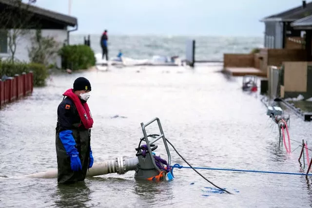
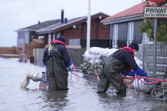
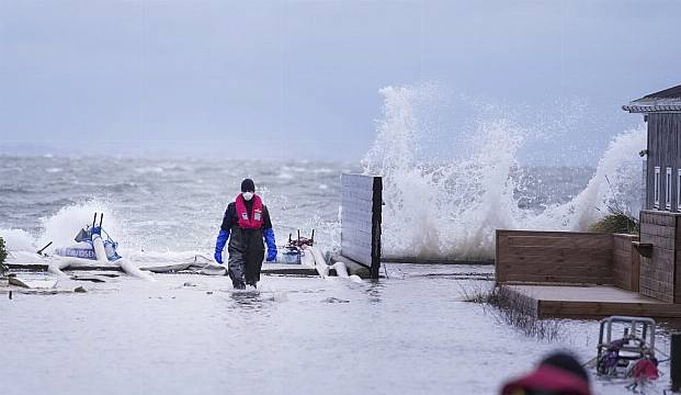
Authorities across northern Europe have urged vigilance as the region braces for heavy rain and gale force winds from the east as a severe storm sweeps through.
The gale force winds are expected to hit hardest in the eastern part of Denmark’s Jutland peninsula and the Danish islands in the Baltic Sea.
But the UK, southern Sweden, northern Germany and parts of Norway are also in the path of Storm Babet, which hit Ireland earlier this week.

“It will probably be some kind of historic event,” Hans Peter Wandler of the Danish Meteorological Institute told the Ekstra Bladet daily.
“But we’ll have to wait until it’s over to see if it’s going to be a two-year event, or a 100-year event.”
Police in southern Denmark – the Danish region expected to be the worst hit – said that a number of road sections in the low-lying areas were flooded and a few trees have also fallen.
Citing the Danish Meteorological Institute which issued a warning for “very dangerous weather” – its highest – police in southern Denmark said the water level will continue to rise.

Sea levels in parts of inland Danish waters were expected to rise up to 7.9ft above normal.
In neighbouring Sweden, meteorologists warned of the risk of extensive flooding which may cause limited access on roads and railways along the southern coasts of the Scandinavian country.
Water levels are expected to begin dropping again on Saturday morning, Swedish meteorologists said.
A bridge near Norway’s second largest city was protectively closed, the Bergens Tidende newspaper said.
Ferries across the region were cancelled and air traffic was hampered, with delays and a few cancellations.


