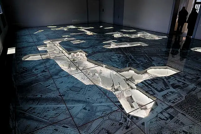
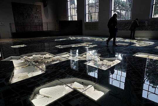
Rome authorities have inaugurated a new archaeological park and museum in the shadow of the Colosseum that features an original marble map of Ancient Rome that visitors can literally walk over.
The opening of the Archaeological Park of the Celio and the new Museum of the Forma Urbis is part of a bigger project to develop the hilly area around the Roman Forum, Palatine Hill and Colosseum that is home to ruins of ancient temples and gymnasiums.

Rome mayor Roberto Gualtieri was on hand on Thursday to open the new archaeological garden and museum and walked across the map fragments – now preserved under glass – of the famous Forma Urbis Romae.
The gigantic marble plan of Ancient Rome, which originally measured about 18 metres by 13 metres, was engraved between 203 and 211 AD under Emperor Septimius Severus and was originally displayed on a wall of the Roman Forum.

“We decided to place it horizontally to give the chance to have the feeling to walk in the ancient city of Rome,” said Claudio Parisi Presicce, Rome cultural heritage superintendent.
Only about a tenth of the map remains; it was last shown publicly around a century ago.

Visitors can enter the park free of charge every day, while the museum is open every day but Monday for a €9 fee.


